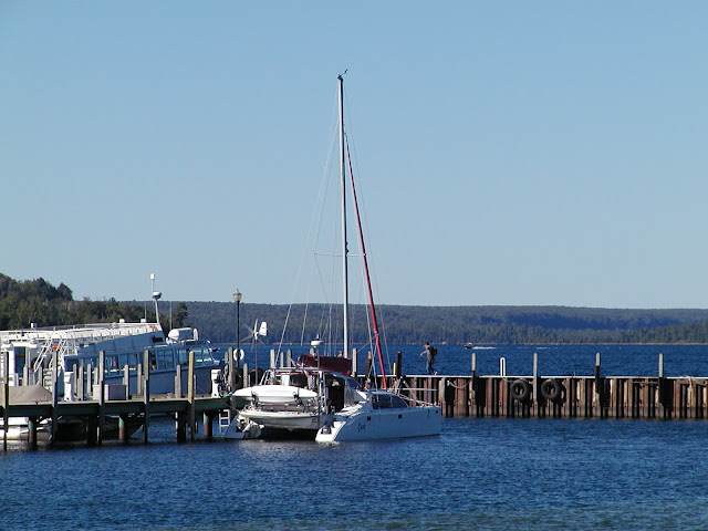
A fisheries research vessel was parked alongside the entrance breakwall as I departed. As I passed I saw lights on and one guy walking the deck and it looked like they would move soon. At least he saw me leave and the direction I took!
I noticed later on AIS that he went east toward the Soo. A cargo ship was also on AIS further offshore and downbound to the Soo as well. No conflicts in my direction...so far!
About two hours out a power boat that had stayed at the town dock the previous night approached from the stern and according to the radar tracking (MARPA) he was only gaining on me at about 3.5 knots. Pretty slow for a sleek power boat. Later in Munising I found out he was only running on one engine. He soon passed me and I noticed I could only keep him on the radar to about 3-4 NM. I am finding the useful range to this radar is pretty short, even with large ships.
I rounded Au Sable Light in fog and could barely pick it up at less than 1/2 NM. I never saw the Grand Sable sand dunes at all. However, as I approached the Pictured Rock National Lakeshore the fog began to lift enough I could see the water fall coming over the high cliff east of Grand Portal Point. Unfortunately, it was too far for a good picture. The fog made the steep cliffs look more like I was somewhere along the Ireland or English coast. It began to clear as I got further west and the sun started to have its effect. It cleared up by the time I got to Munising.
 |
| Grand Marais to Munising - 09/04 - 35.2 NM |
 |
| Au Sable Light - About One Half Mile - If You Look Closely |
 |
| Fog Always Brings Travelers Looking For Rest Looks Like A Finch |
 |
| Pictured Rocks National Lakeshore In The Fog |
 |
| Lots Of Interesting Rock Formations |
 |
| This Arch Was Huge - The Trees Give Perspective |
 |
| Unfortunately, The Fog Obscured Some Of The Beauty |
 |
| Tour Boat Out Of Munising |
 |
| First Signs Of Fall Colors |
 |
| Still Overcast - A Sunny Day Would Bring Out More Color |
 |
| Close Up Of Stony Beach At Base Of Cliff |
 |
| The High Cliffs Run For Many Miles |
 |
| Water Depths Allow Passage Close Under |
 |
| Suddenly Along Comes This Long Stretch Of Sandy Beach! |
 |
| This Is Called Miners Castle |
 |
| Oldest Wooden Light House - South Grand Island Built 1867-Abandonded 1913 Munising & Grand Island Area |
 |
| Munising, MI - Bayshore Marina |


No comments:
Post a Comment