 |
| CHESAPEAKE CHANNEL BRIDGE EARLY MORNING |
I headed down the harbor to a nice sunrise. Winds were favorable for a tack to the first turn so I put up sail. Winds were not strong to start and I had a current in my favor so was doing fine making about 6 kts. Had to keep a close eye on crab pot markers and came close to a couple that were poorly marked.
 |
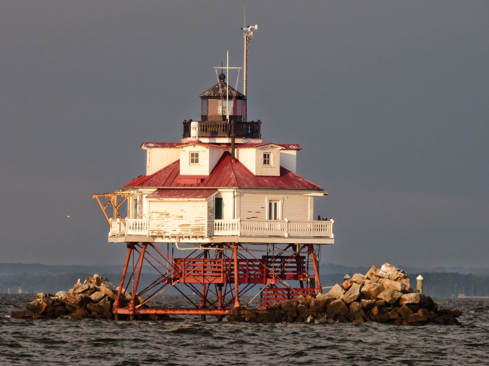
| THOMAS POINT SHOAL LIGHT |
Unfortunately, the wind picked up and was above forecast and with the current running opposite it made for a miserable chop. The boat began to pitch making it for a rough and uncomfortable day.
 |
| NO, I DID NOT ACTUALLY SEE IT FALL! |
 |
| COVE POINT LIGHT |
Took some shots of sites along the way. On arrival I called ahead and the dock master was there to catch my lines. It went smoothly but I was bushed with the ride, heat, and humidity.
 |
| APPEARS TO BE A GAS LOADING DOCK BIG INVESTMENT! |
 |
| THIS SHOWS THE OVERALL SIZE OF THE FACILITY |
 |
| FISH NETS THAT GO OUT A HALF MILE OR MORE AND ARE UNLIGHTED, NOT SURE WHO IS TRAPPING WHO? |
 |
| NOT THE BEST PICTURE BUT THE LIGHT SHOWS THE CRAB POT MARKERS WELL AND AS YOU CAN SEE THE POOR SUCKER COMING BEHIND ME IS HEADED RIGHT FOR THEM! |
Steak (tube steak) and beer was fine with me! I ended up topping it off with some pizza which I only ate half of so I could have some for lunch the next day.With tip my evening cost $15! Can't beat that.
 |
| OSPREY ON THE NEST |
I always plot the next day's course after I get settled and discovered my next leg was 13 NM than I had planned! It would be a 53 NM leg down to Deltaville, VA which I am not looking forward to! Just too long a leg.
Hit the sack since the day must start as early as possible.
Stats: Charted 42.22 NM, Logged 43.34 NM, WT 86.3F, Total Log 8298.7 NM, Max Speed 6.92 kts., Max wind 17.7 kts.
No comments:
Post a Comment